mercredi 29 juillet 2015

Golden Software Voxler

Golden Software Voxler, Create powerful, fast, customized 3D images and 3D models of your geologic data and point cloud data with Voxler 3. Easily import and combine data in a multitude of file formats to create stunning 3D models that visualize the relationships across your data set. This robust, yet user-friendly application gives you the power to display your data in a variety of formats and colors, model wells and boreholes in 3D, map surfaces in full 3D, capture video animation of your moving model, and select from several image and data export options to create stunning project and graphics.
Download link:

Grapher 8

Grapher is the ultimate technical graphing package available. This easy-to-use, powerful, and dynamic program will have you creating publication-quality graphs in minutes! The superior, professional, impressive graphs will be wowing your audience every time they see your graphs.Rose Diagrams display degree, radian or grad data versus a radial axis. Like histograms, Rose Diagrams display statistical data, showing the number of occurrences of an event that fall within a specific angular region. Bins are fully customizable in rose diagrams.
 
Download link:

ZondRes2D - software for 2D resistivity and IP imaging

Software for the interpretation of geophysical data are widespread. Depending on the nature of the application, they encompass many different directions in geophysics. Many of these software are for seismic data interpretation. The ZOND software package is oriented mainly for near surface geophysics.
The package has been developing during the 21st century and includes applications for electric prospecting, seismic, magnetic and gravity surveys. The main focus is on DC and AC resisitivity methods however modules for seismic interpretation are planned for the near future.
Download link:

GSS Potent

Potent is a Windows application that provides a highly interactive framework for 3-D modelling of magnetic and gravity data.
This example uses one of Geosoft's Oasis montaj sample datasets. The top left window shows the entire TMI dataset as a grid. The bottom left window shows the subset of data around the two anomalies of interest. The top right window shows an ENE section across this region. The anomalies have been modelled as a dyke and a flat tabular structure. The blue crosses are the observed TMI field, and the red line is the calculated field due to the model. The bottom right window shows the calculated field due to the model as an image at the same colour stretch as the observed field.
Potent works in 3-D space. Observation points can have height and ground clearance associated with them. The bodies that constitute the model are all able to be translated and rotated in three dimensions.
The field due to the model is calculated at the true position of the observations, thereby incorporating elevation effects such as those due to topography or aircraft height.
 
Download link:

Golden Software Surfer 12

Surfer 12 has just been released!!! There are many new features in Surfer 12 that improve its functionality. Over the next few weeks, we will be posting blogs about the new features in Surfer 12.
Download link:

Golden Software Starter

Golden Software, Inc., the leading developer of affordable scientific graphics software announces the release of Starter, a powerful, user-friendly upgrade to Strater, a well log, borehole and cross section plotting software package for geoscientists. Strater enables users to quickly create professional well logs, cross sections and location maps from interval, depth, and well data.
Download link:

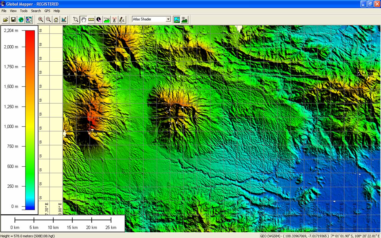
Global Mapper


Global Mapper is an affordable and easy-to-use GIS application that offers access to an unparalleled variety of spatial datasets and provides just the right level of functionality to satisfy both experienced GIS professionals and beginning users. Equally well suited as a standalone spatial data management tool and as an integral component of an enterprise-wide GIS, Global Mapper is a must-have for anyone who deals with maps or spatial data.

Download link: